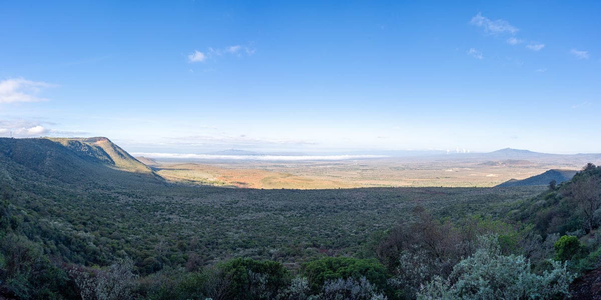
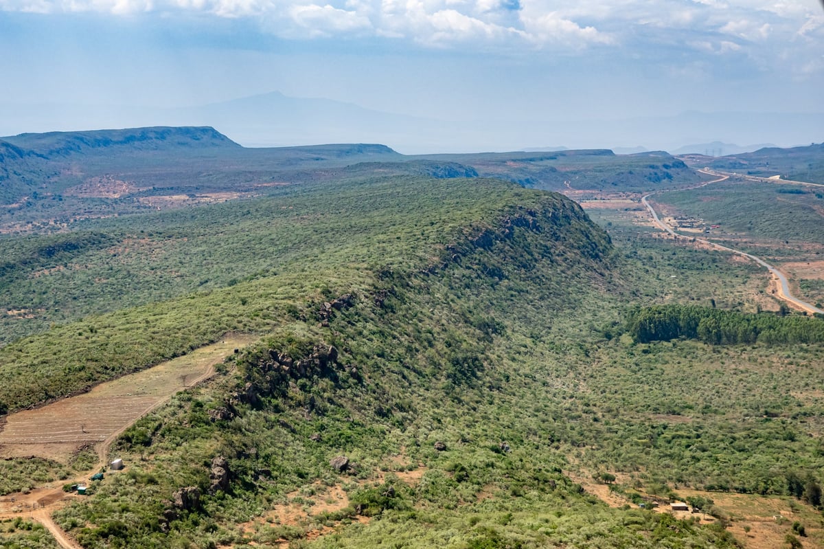



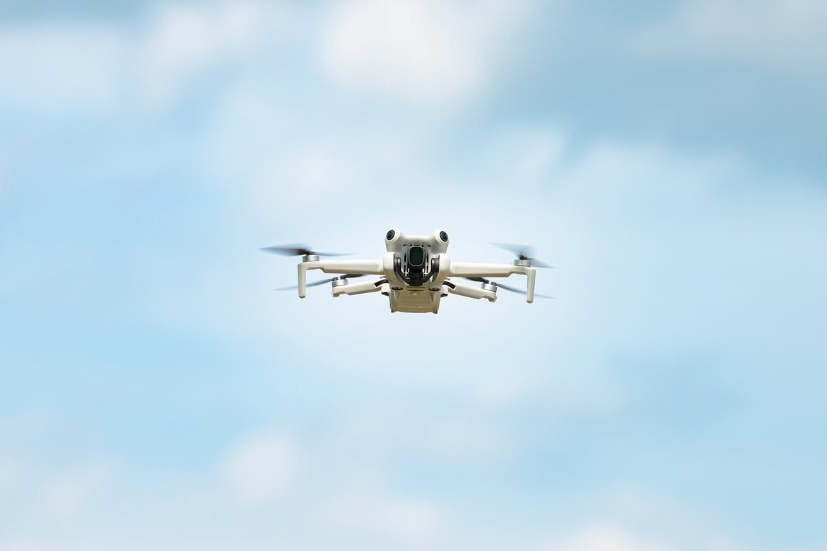
Aerial view of the Great Rift Valley in Kenya
Based in Nairobi · Operating across East Africa

See your ground from 120 metres up.

Precision aerial surveying, mapping, inspection and crop data — delivered by licensed drone crews who understand East African terrain, regulation and infrastructure.

Same-day response on most inquiries · No obligation · Nairobi-based, East Africa-wide

12,000+
Hectares surveyed
48 hrs
Typical data turnaround
4 countries
Operational footprint
100%
Licensed & insured pilots
The terrain we read

From rift escarpments to lake shores and highland forest.

East Africa's landscapes are varied and demanding. Our crews know how to fly them — the winds, the light, the access routes and the permits.

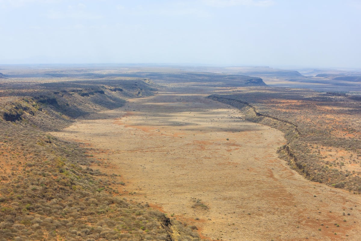
Overflying rift valley shrubland in Maasai land, Kenya
Rift Valley
Sunrise over Lake Oloiden, Naivasha, Kenya
Lakes & wetlands
Highland peaks rising above a sea of cloud
Mountains & highlands
Golden aerial view of a winding river through forest
Forests & rivers

Imagery is representative of the regions we operate in.

What we fly for

Aerial data that answers real business questions

Every flight produces a deliverable you can act on — a map, a model, an inspection report or a yield forecast. Not raw footage.

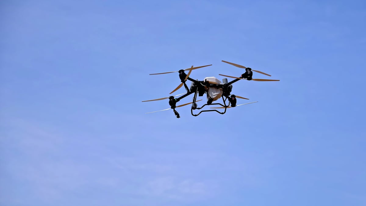
Survey drone with high-resolution camera in flight

Aerial Survey & Mapping

Orthomosaics, digital elevation models and volumetrics accurate to within 2–5 cm. Ideal for site planning, progress tracking and stockpile or land-use measurement.

  • Topographic & cadastral mapping
  • Stockpile & earthwork volumetrics
  • Construction progress reports

Agriculture & Crop Monitoring

Multispectral NDVI maps that catch stress, pests and irrigation gaps weeks before the eye can. Spray planning that uses 30% less input.

Infrastructure Inspection

Safe, close-range imagery of towers, roofs, pipelines and solar arrays — no scaffolding, no rope access, no downtime.

Data Processing & Reports

Raw images in, decision-ready deliverables out: annotated reports, shareable 3D models and dashboards your team can actually use.

Not on the list?

Need something unusual measured, filmed or monitored? Tell us the question — we'll design the flight around it.

Talk to a flight planner
How it works

From first call to finished map in days, not months.

No bureaucracy. One team handles permissions, flight planning, capture and processing.

01

Tell us the question

A 15-minute call about the site, the decision you need to make and the timeline.

02

We plan the flight

Permissions, airspace, weather windows and a fixed quote — before anything flies.

03

Capture day

Licensed pilots fly your area, validated on site against ground control points.

04

You get the answers

Processed maps, models and reports delivered securely, usually within 48 hours.

Who we fly for

Built for the sectors that run East Africa.

We've flown farms in the Rift Valley, energy sites on the coast and building projects across the region. We know the terrain, the weather and the paperwork.

See industry solutions
Agricultural survey drone over farmland

Agriculture & Agribusiness

Crop health mapping, spray plans and harvest forecasting.

Drone flying over a modern urban district

Construction & Real Estate

Progress tracking, as-builts and site marketing imagery.

Site engineer operating a drone for an aerial survey

Energy & Infrastructure

Asset inspection without scaffolding or shutdowns.

Golden aerial view of forested hills and a winding river

Mining & Extraction

Volumes, haul-road monitoring and haulage optimisation.

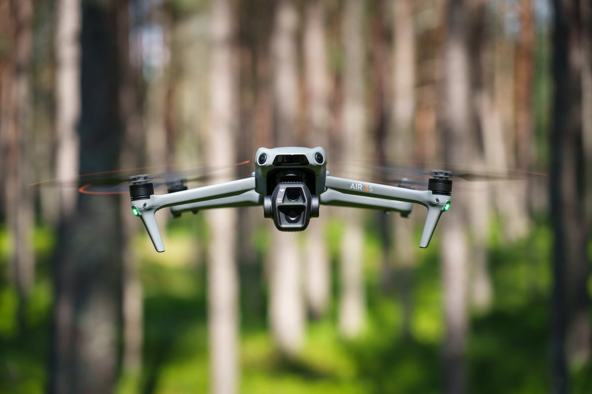
Compact multi-sensor survey drone in a forest setting
DJI Matrice 4E
Our survey aircraft
Our fleet

We own and fly the DJI Matrice 4E.

A fleet of manufacturer-maintained Matrice 4E aircraft — 49-minute endurance, 20 MP 4/3″ imaging and centimetre-level RTK accuracy — flown by our own crews across East Africa.

49 min
Flight time
1 cm
RTK accuracy
3
Cameras
Explore our fleet & specs
Panoramic overlook of the Great Rift Valley, Kenya
2–5 cm
mapping accuracy
Why Drone East Africa

Local crews. International standards.

We combine regulatory fluency across East Africa with survey-grade equipment and rigorous ground-truthing. That means data your engineers, lenders and government partners can trust.

Fully licensed

KCAA-compliant operations, insured flights and documented airspace approvals.

Survey-grade kit

RTK-enabled aircraft and calibrated multi-sensor payloads.

Fast turnaround

Most deliverables returned within 48 hours of capture.

One accountable team

Planning, flying and processing handled in-house — no handoffs.

Free quote

Tell us about your site. We'll tell you what we can see.

Share a few details and a flight planner will come back with a scope, timeline and fixed price — usually the same working day.

Start your free quote

No obligation · Reply within one business day